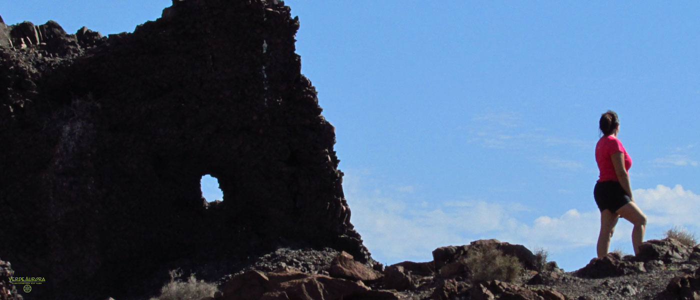
Mountains and volcanoes of Fuerteventura, visits that are usually forgotten

When we think of Fuerteventura, its spectacular and long beaches come to mind. However, despite being one of the flattest islands of the Canary Islands, it has important mountains and volcanoes, which are protected. Today we discover a different visit to Fuerteventura, we review the forgotten natural areas: the mountains and the volcanoes.
Pico de la Zarza
At 807 meters above sea level, Pico de la Zarza is located as the highest point of Fuerteventura. The route begins in the south of the island, in the municipality of Morro Jable. It is recommended to climb to the top at dawn, when we can see and touch the clouds or at sunset, you will witness one of the best sunsets of Fuerteventura, because if the sky is clear you can see the island of Gran Canaria and Las Cañadas from Teide de Tenerife.
How to get? From the FV-2 take Vinamar direction to the golf course. From here, we must go towards a small exit that leads to a water tank and a roundabout. Before reaching it, take a dirt road that you will find on the right. Follow this road until you reach Pico de la Zarza.
Mountain of Tindaya
Tindaya is the best known point of Fuerteventura. Geomorphologically it is trachyte rock with a pyramidal shape. It has an altitude of 400 meters and is the result of the erosion of the volcano on the current mountain. The vegetation of the surroundings of Tindaya is typical of the Canary Islands, we can find: Cuernúa, Jorao or Helianthemum tymiphyllum. As for the fauna, they inhabit mainly birds like the houbara bustard, the stone curlew or the trumpeter bullfinch.
Tindaya is known as “the mountain of the witches” and has always been the focus of magical rites and a sacred place for the aboriginal majoreros. In the mountain of Tindaya there are engravings podomorfos, that is to say, footprints, made by the old inhabitants of the island. For this reason, and due to the characteristics it gathers, Tindaya is considered a Site of Cultural Interest, a Natural Monument and a Point of Geological Interest.
How to get? Tindaya is located in the municipality of La Oliva, and near the mountain is the town of the same name. For the FV-10 take direction Tindaya, take the detour for Calle la Oliva. Take the first exit that you see to the right, for when to take again the right one in the following exit that you see. Continue straight ahead to reach the Tindaya Mountain.
Malpais de la Arena
Also in the municipality of La Oliva and 10 kilometers from Tindaya is the Volcán de la Arena. Its 120 meters high and its two craters can be seen from anywhere in the north of Fuerteventura. From its summit also, you have a privileged view of El Cotillo, Isla de Lobos, the Dunes of Corralejo, Lanzarote or Lajares.
The Malpaís de la Arena is a protected area of Fuerteventura and the youngest volcano on the island. It is a volcano surrounded by a sea of lava, called Malpaís, of 12 square kilometers, where it has given way to a characteristic ecosystem. Lizards, lizards and rabbits coexist alongside Canary Islands own vegetation and protected as the Caralluma burchardii.
How to get? In the town of Villaverde, take the FV-101 and turn down the Camino de Bayajo, at the height of the church of San Vicente Ferrer. In the second exit, crossing the streets Montaña la Arena and Camino de Bayajo, we will arrive at a car park where we will have to leave the car and continue the path on foot, since the path belongs to the Natural Paths Network of Fuerteventura.
Volcano Calderón Hondo
In Lajares we find three aligned volcanoes: Volcán Bayuyo, Las Calderas and Volcán Calderón Hondo. The eruptions of these three formations created more than 50,000 years ago increased the surface of Fuerteventura and created Isla de Lobos.
The Volcano Calderón Hondo has a depth of 70 meters, which can be seen when we ascend to its summit, where we find a viewpoint from which you can see the volcanoes of Las Calderas and Bayuyo, and the northern area of Fuerteventura.
How to get? With direction Majanicho we take the road near the Municipal Football Field, a kilometer from the stadium we can park the car and start the ascent to the Volcano Calderón Hondo on foot through the Network of Natural Roads of Fuerteventura, belonging to the second stage. In the first division of the path, turn left
Mountain of the Caldera
It is the highest point of Isla de Lobos and a must-see treasure. From its 100 meters of altitude we can have a privileged view of the islands of Fuerteventura, Lanzarote and the Island of Lobos itself. On the sides of the volcanic cone break the waves of the Atlantic Ocean offering its visitors a unique postcard.
How to get? To get to Isla de Lobos, the only way is by boat from Corralejo. Once on the islet we take the path that leads us west and leads directly to the Montaña de la Caldera, passing by the Playa de la Caleta.


